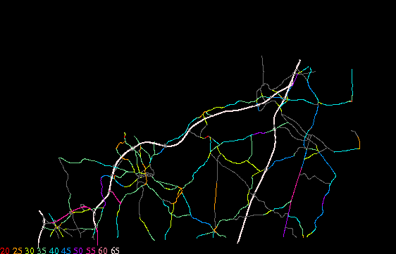
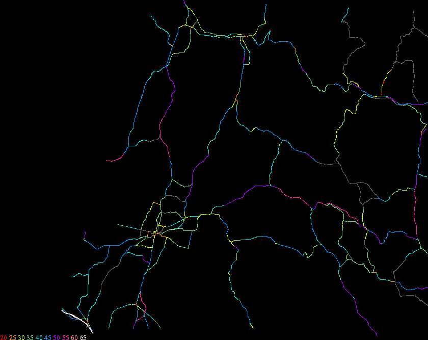
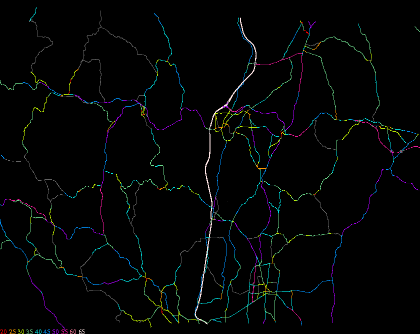
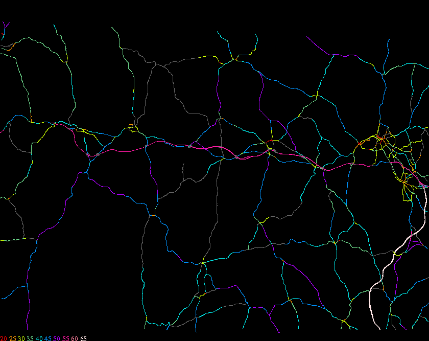
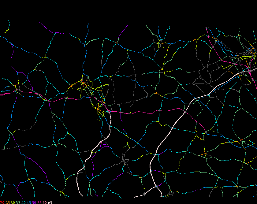
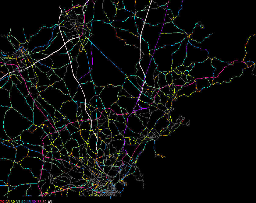
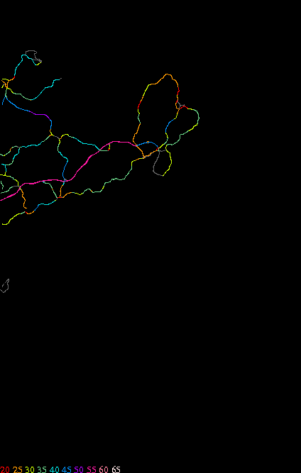
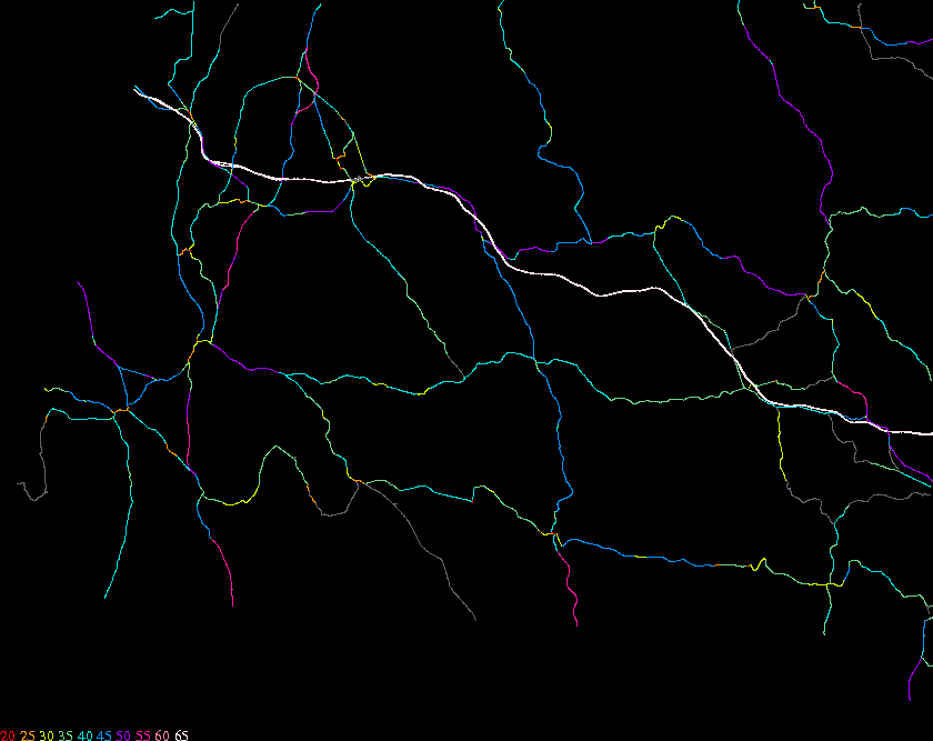
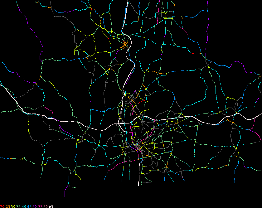
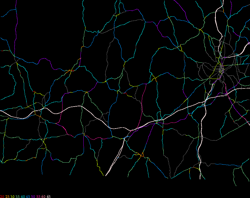
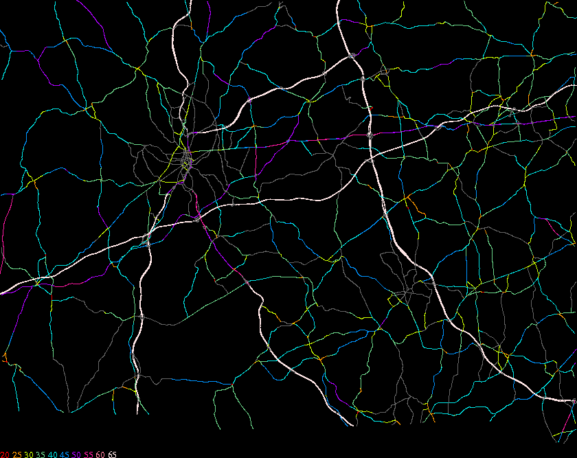
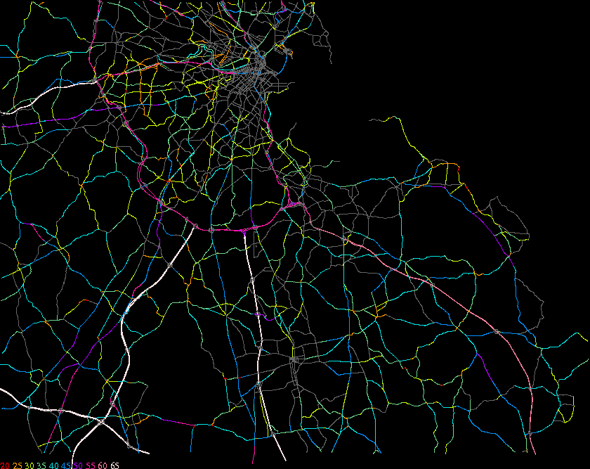
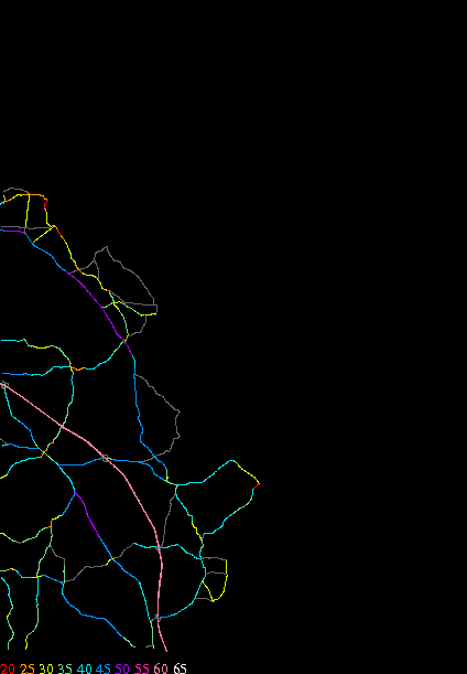
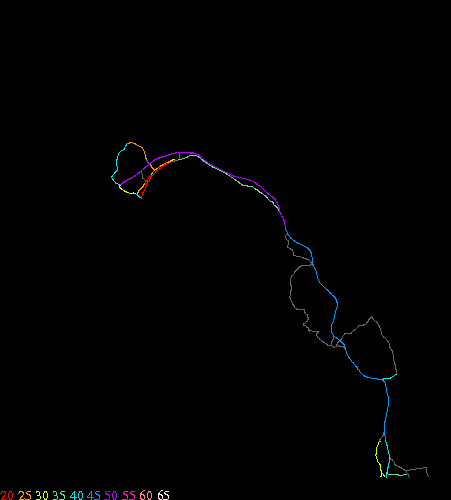
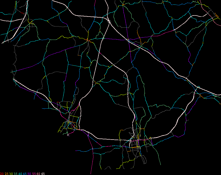
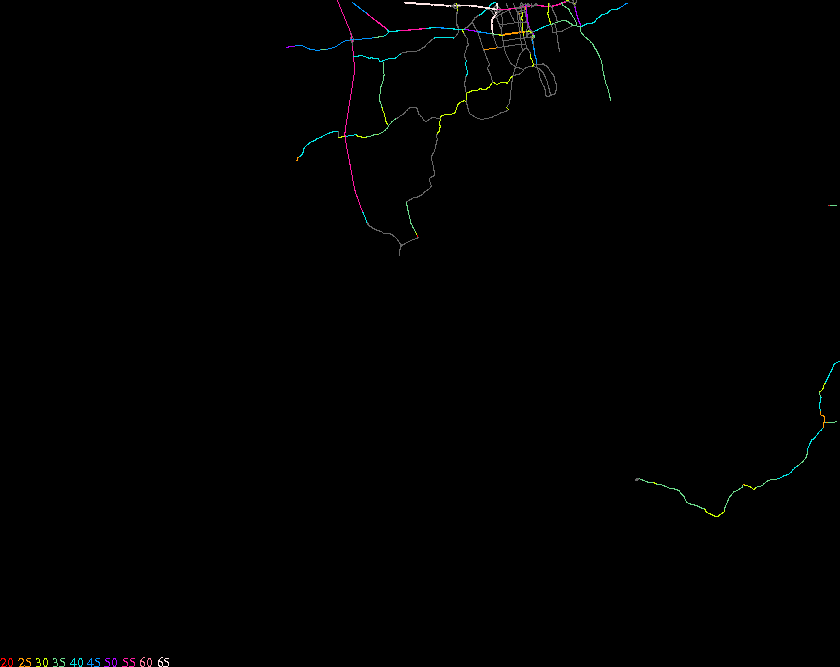
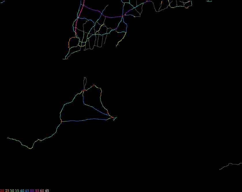
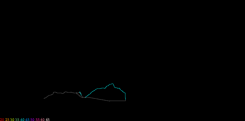
The following table contains links to maps of speed limits on Massachusetts roads. The source data are (1) the MassHighway GIS road database, (2) speed regulations obtained from MassHighway, (3) observations by John Carr. These maps do not show roads functionally classified as "local streets" (as opposed to arterials or collectors).
Unlike most states, Massachusetts makes a significiant distinction between posted and unposted speed limits so unposted roads are not assigned a speed limit color code.
| 34 | 78 | 122 | 156 | 210 | 254 | 298 | |
|---|---|---|---|---|---|---|---|
| 945 | Haverhill | ||||||
| 899 | Pittsfield | Greenfield | Athol | Fitchburg | north | Gloucester | |
| 861 | Stockbridge | Springfield | Sturbridge | Worcester | Boston | Scituate | Provincetown |
| 815 | Taunton | Plymouth | Cape Cod | ||||
| 777 | Dartmouth | Vineyard | Nantucket |