Here are some random pictures of the T that I have taken over the years.
Click on the picture for a larger version:
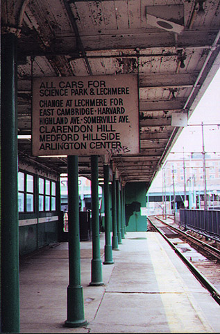
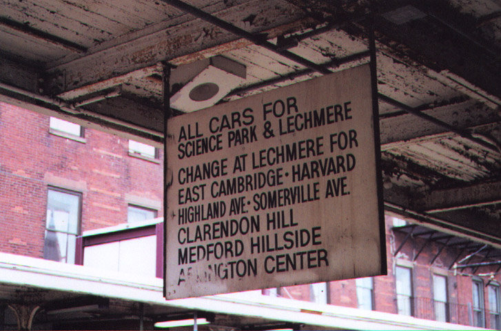
North Station (Green Line): A holdover from the days when streetcars
went from Lechmere to other destinations:
(Left: Outbound platform, looking towards the Artery; Right: Outbound
platform, opposite direction)
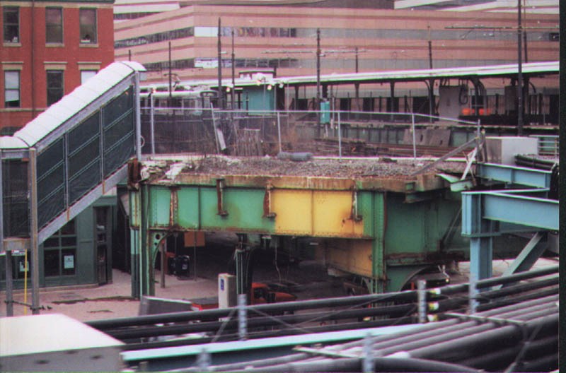
North Station (Green Line):
Left: The original Green Line el that was demolished to make room for
the new underground North Station stop which is currently under construction.
Between the new Haymarket Portal and North Station, the trains run on a
temporary viaduct.
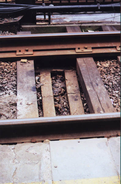
Right: You can see a closeup of the original concrete ties that preceded
the wooden ones.
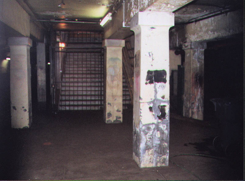
Left: The old el platform, where it runs along the current Outbound
track.
Right: The el trackbed.
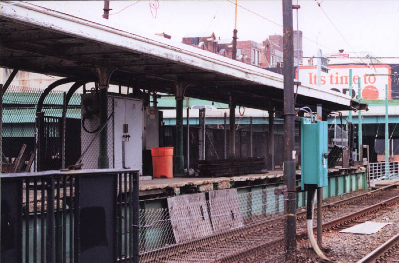
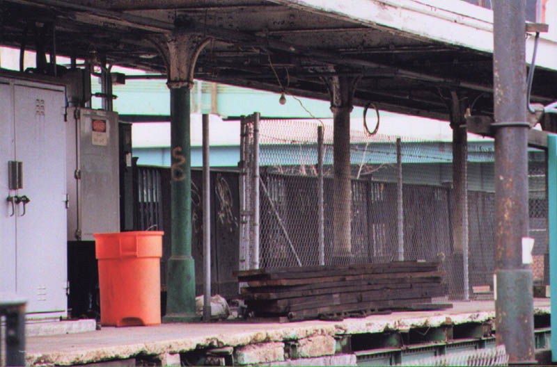
2nd row Left: closeup of the old el platform. The T now uses it for
storage and new signals.

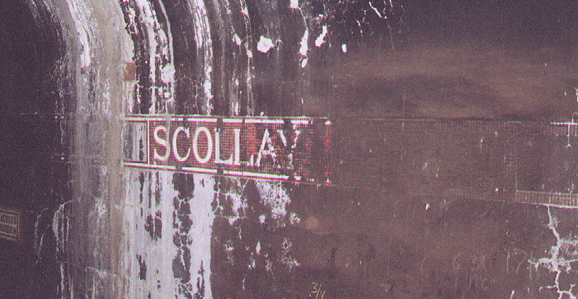
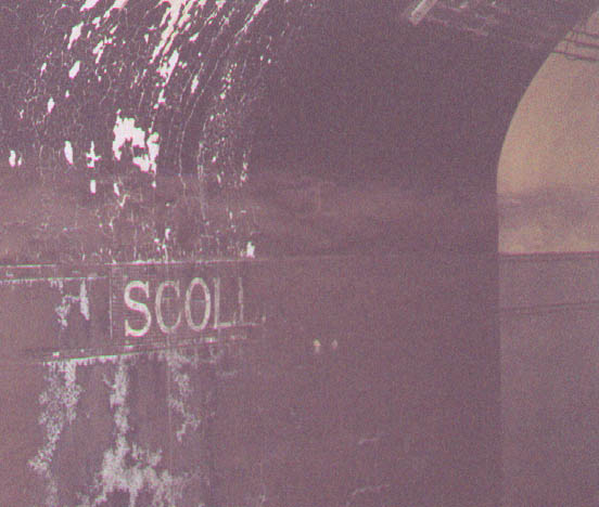
Government Center (Blue Line): If you look closely, it still says "Scollay
Under" (the "Under") has been covered by dirt, but if you look carefully
in the large version of the left photo, you can just make it out.
(Left: Center platform, outbound side, looking towards Bowdoin; Right:
center platform, inbound side, looking towards Bowdoin)
The Blue Line used to have trolleys. Here you can see the old trolley platform and stairway. (Center platform, Bowdoin direction)
More to come....