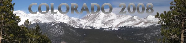


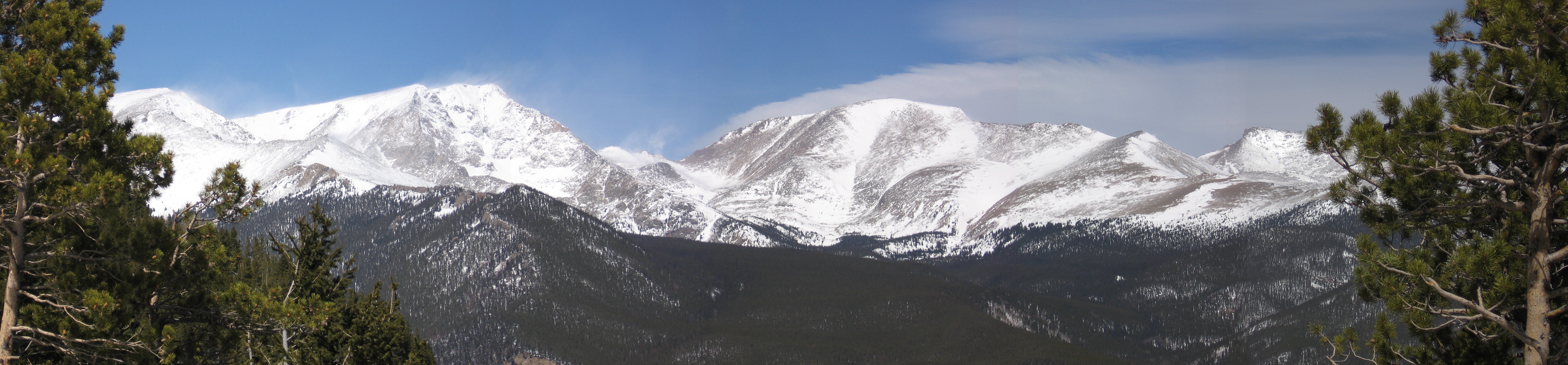
Photo in the header is from an 11 megapixel panorama I created from 5 shots in Rocky Mountain National Park. These photos are from a few days of fun that we squeezed in around a conference I had in Boulder in March 2008. The snow line was generally around 7000 or 8000 feet, so it was mostly gone in the towns and still deep before you could get very high in the mountains.
View Larger Map |
The map shows our snowshoeing routes for two days. Blue is up and red is down. Trails are not easy to find and not very meaningful when there is 4 feet of snow on the ground. Note that the map is interactive. |
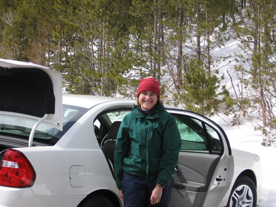 | Here is Liz getting out of our rental car at the Bear Lake parking lot on March 22nd. We spent the morning eating, poking around, and getting snowshoes in Estes Park (the people at The Warming House were very helpful). |
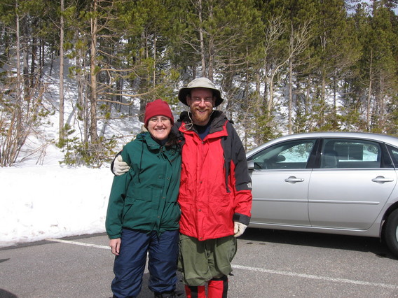 | Ready to hit the trail! Note all the wind/cold weather gear recently unpacked after years in the bottom of the closet. |
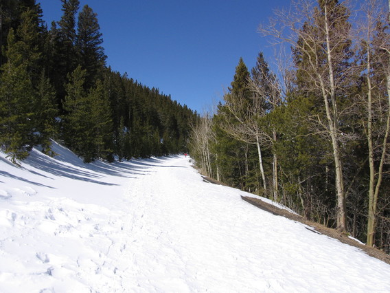
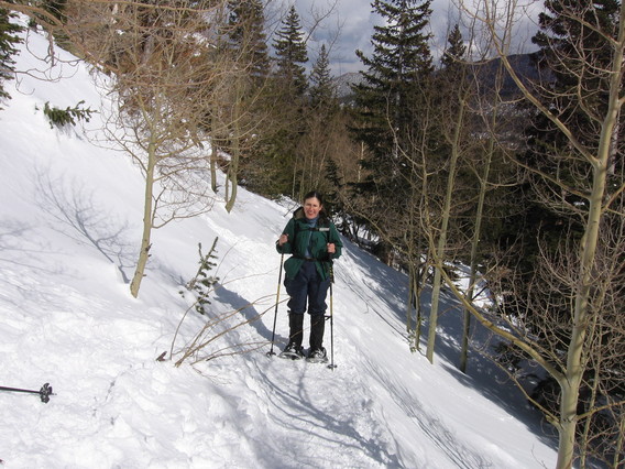 | At the urging of the gear rental place, we took ski poles (at no extra charge) which we hadn't used before. They seemed pretty useful, even though we were used to not using them. The trail was very packed and flat, even on a steep hillside like this one. |
 | Hi. |
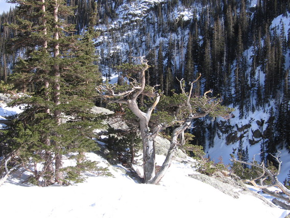
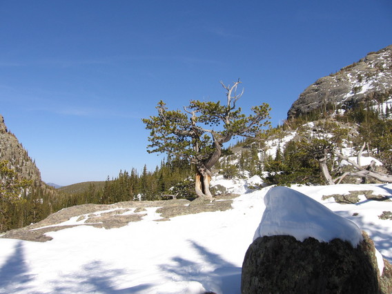
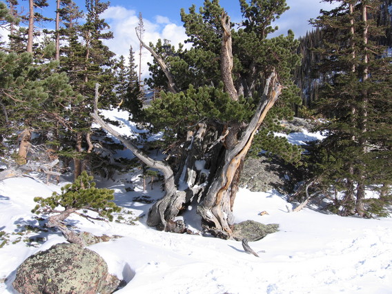 | Picturesquely gnarled tree. |
 | |
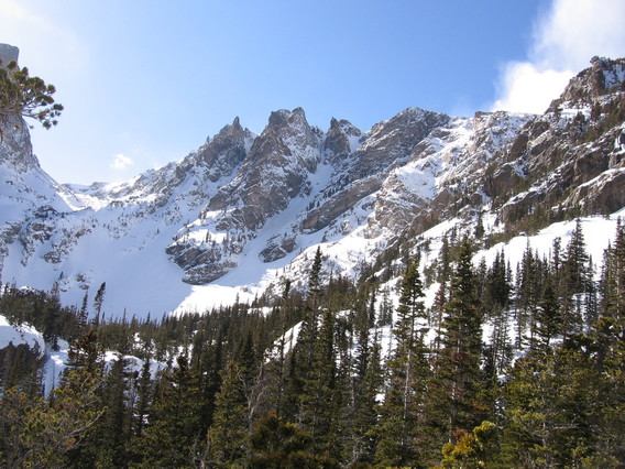 | The view above Emerald Lake, which we didn't quite reach. |
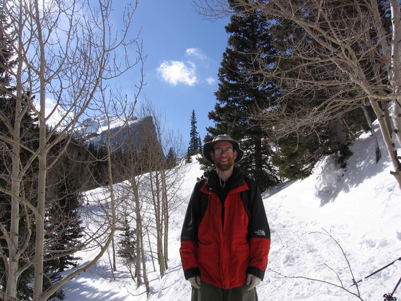
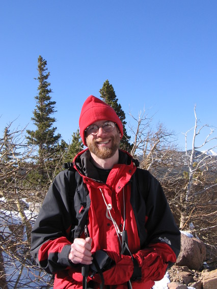
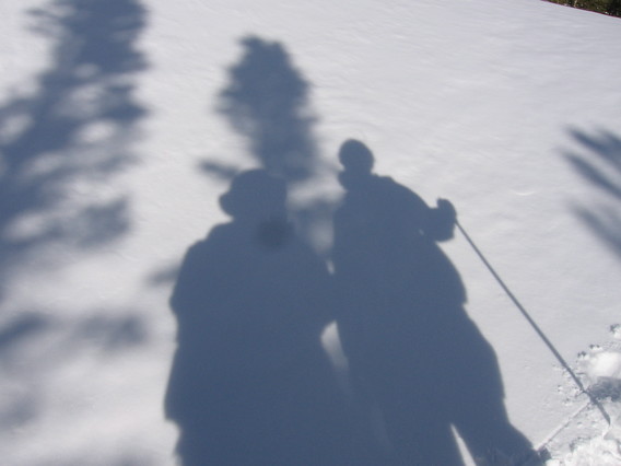 | Sort of a self portrait. |
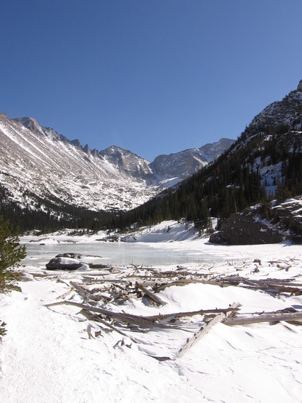 | Now halfway through the second day of snowshoeing. This is Mills Lake. |
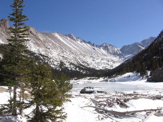 | Same, with trees in frame. |
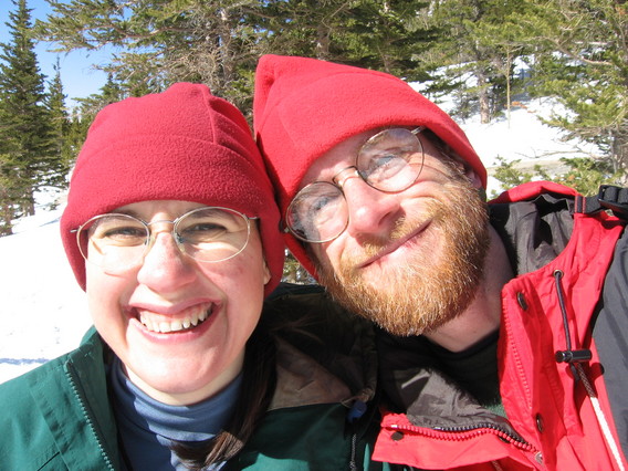 | Partners in crime. It would drop from the high 30s when we started to the low 20s with wind and snow by the evening. |
 | Near the lake, looking out and down. |
 | |
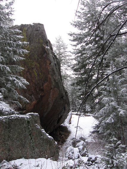
 | So we left the trail on the way down and headed down the frozen stream bed. Right in front of us here is actually a 20 foot icy slide with rocks at the bottom. Staying out of them wasn't that hard, but an ice axe instead of a ski pole would have been nice. We rejoined the main trail at Alberta Falls (frozen solid). |
 | Overmitts out of storage! It is getting colder and the amount of clothing is increasing. |
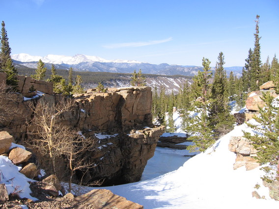
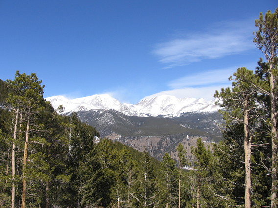
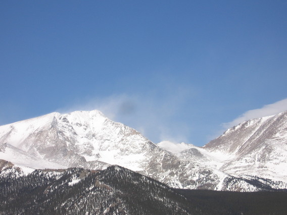
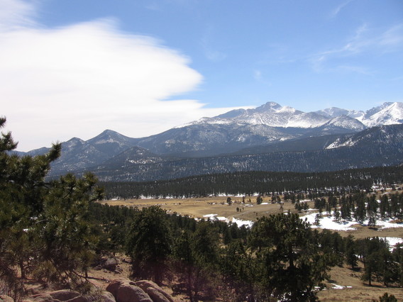
 | Day 3. Walking above Many Parks Curve, where the road is closed for the winter. This provided a better view of distant high mountains with snow blowing off the top. |
 | The red dot in the center is me. |
 | |
 | |
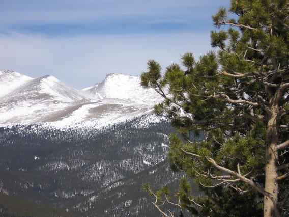 | |
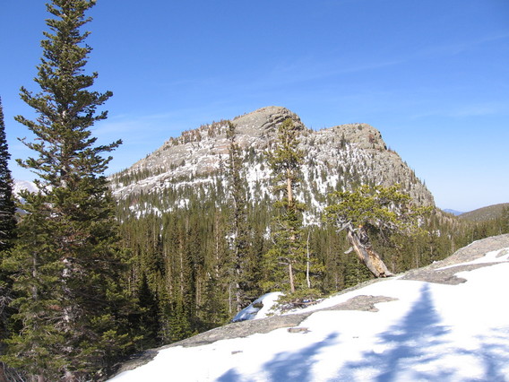
 | Lower down, there is a lot of exposed granite. I haven't been rock climbing in a really long time. |
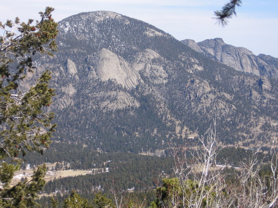
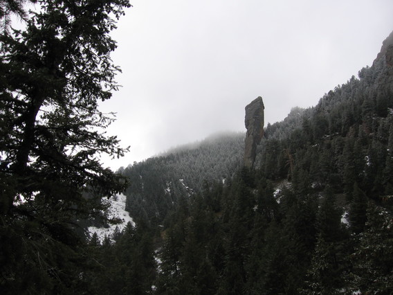
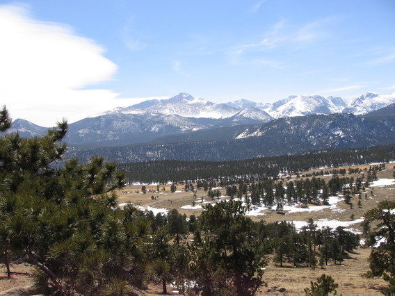 | The 14,255-foot, square-topped mountain across the valley has served as a navigational aid for thousands of years. Prehistoric hunters oriented their travels by it. Ute people saw Long's Peak as a sacred place and a guiding landmark. French-speaking fur trappers called Long's and adjacent Mt. Meeker "Les Deux Oresilles," or the Two Ears. |
 | After Major Stephen H. Long led a U.S. Army topographic expedition to
this region in 1820, the peak was named for him. As Major Long and his
party of 22 explorers neared the Rocky Mountains, he wrote, "a high
Peake was plainly to be distinguished towering above all the others as
far as the sight extended."
Modern travelers still use this famous landmark; note how often you see Longs Peak as you travel through Rocky Mountain National Park. (From the NPS sign. Note that they spelled the name both "Longs" and "Long's.") |
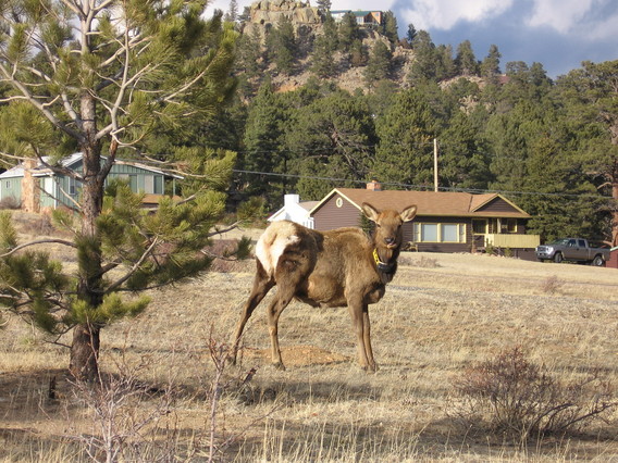
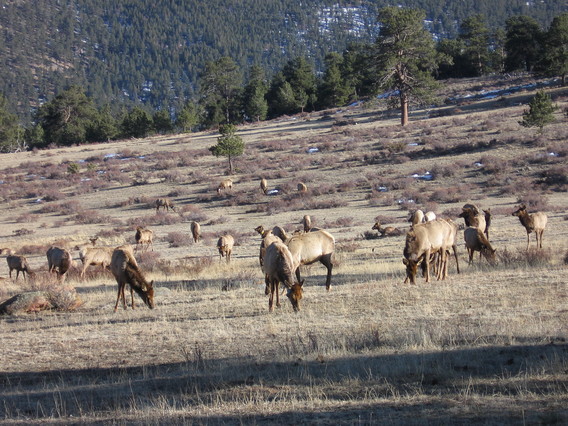
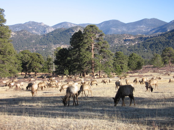
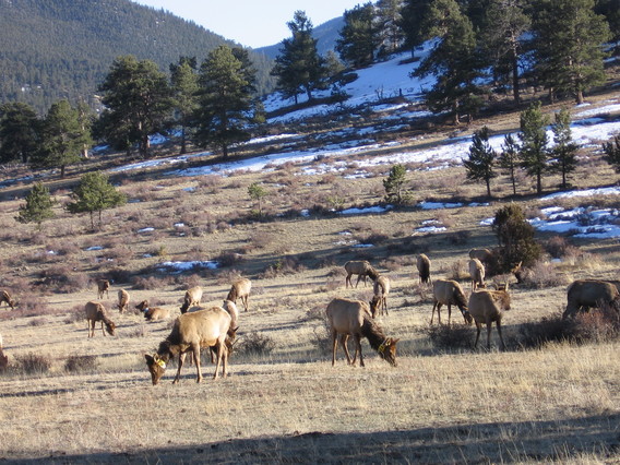
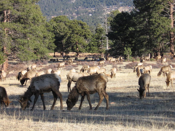
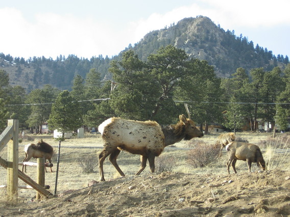 | There was a significant herd of elk just outside the entrance to the park. We saw them in the same area over a few days. They appear to be losing their thick winter coats. This makes them look pretty mangy. |
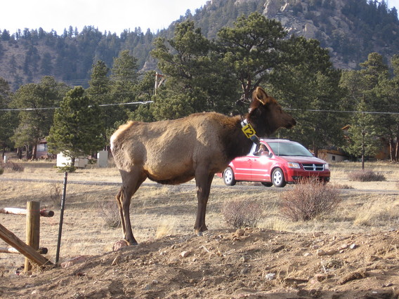 | You can tell that we weren't the only car stopping. Also notice the very large radio collar. A large number of the elk had them. |
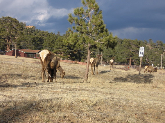 | At the San Diego Wild Animal Park they refer to these markings as "follow me" marks. They may help keep the herd together and moving in the same direction. |
 | |
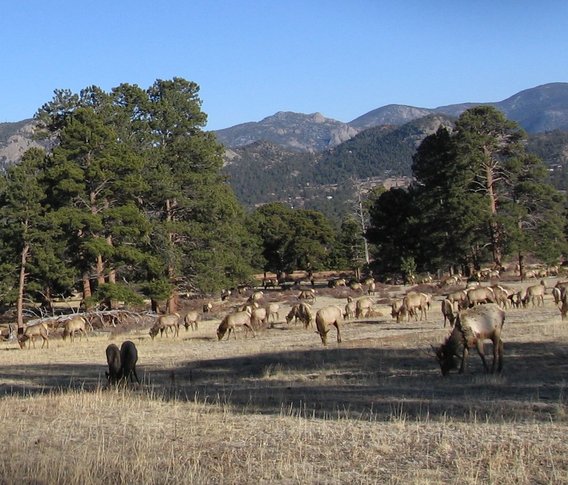 | There were many of them. The grass hadn't been out from under the snow for very long, and it wasn't green yet. |
 | |
 | |
 | |
 | |
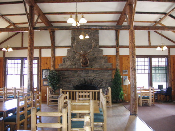
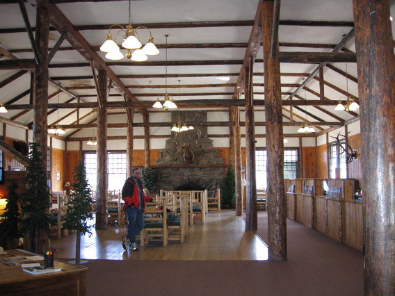
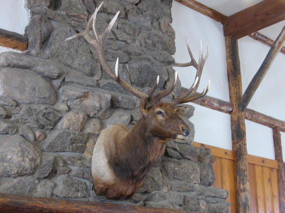 | The one that didn't get away. This is in the main lodge at the YMCA where we stayed. The Y has been there for maybe 100 years. It is supposed to be extraordinarily popular for families in the summer, but this was definitely the slow season. |
 | |
 | |
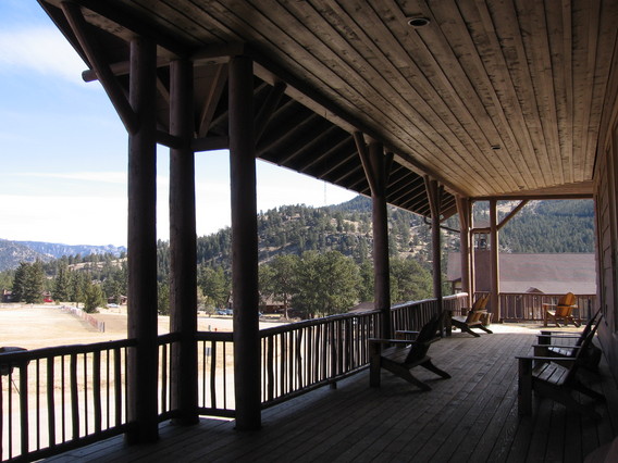 | Here is the porch of the lodge. Those are adirondack chairs. |
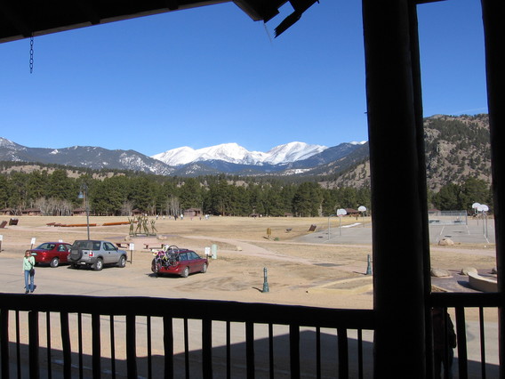 | The YMCA is right up against the park. |
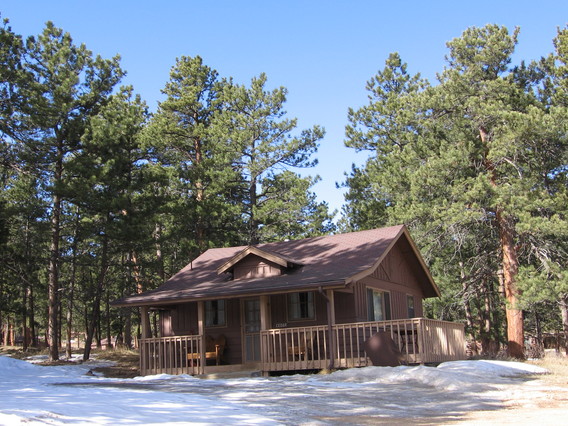 | This is the cabin we stayed in, 2 bedrooms, kitchen, bath, and living room. Too cold to use the porch this trip. |
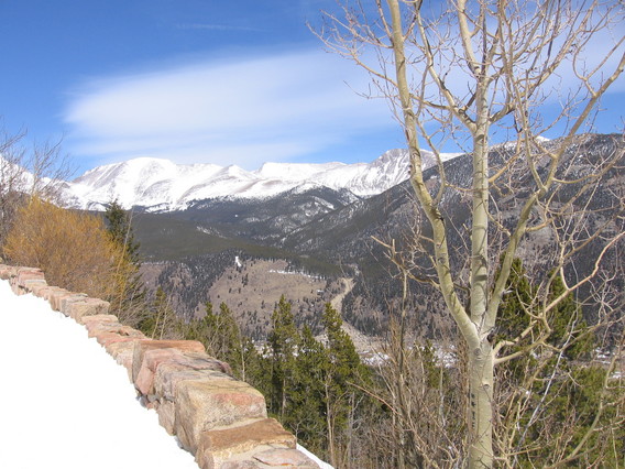
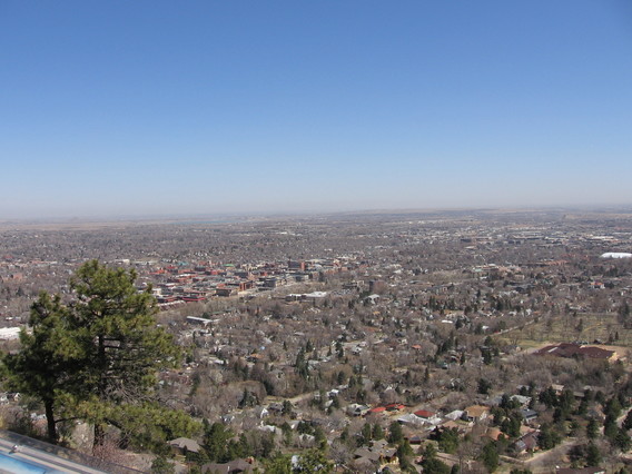 | We spent the following week in Boulder. Here is a view of the town from an overlook on Flagstaff Mountain. Denver and Boulder are towns on the prairie. Boulder may be at the bottom of the mountains, but it is not in the mountains. It is surrounded by flat grasslands. |
|
View Larger Map | Liz went for a solo hike into Shadow Canyon above Boulder. |
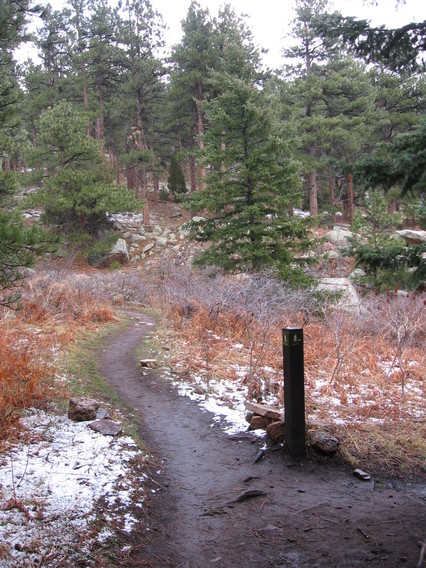
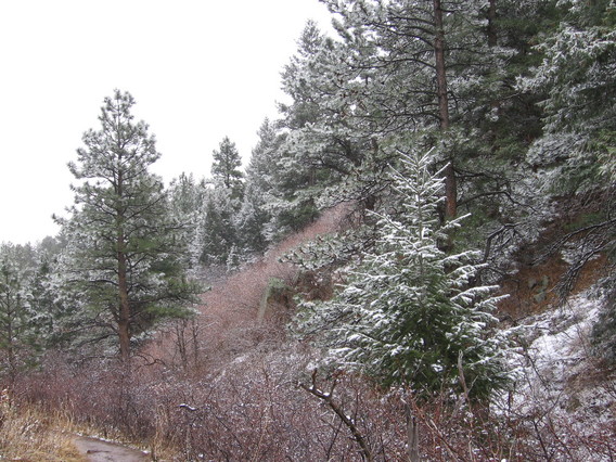 | Here is the start of the hike. Liz was delighted to find that it was snowing heavily. |
 | |
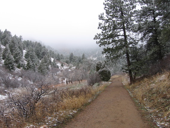 | This brief part of the hike was on a "highway" (in hiker lingo). |
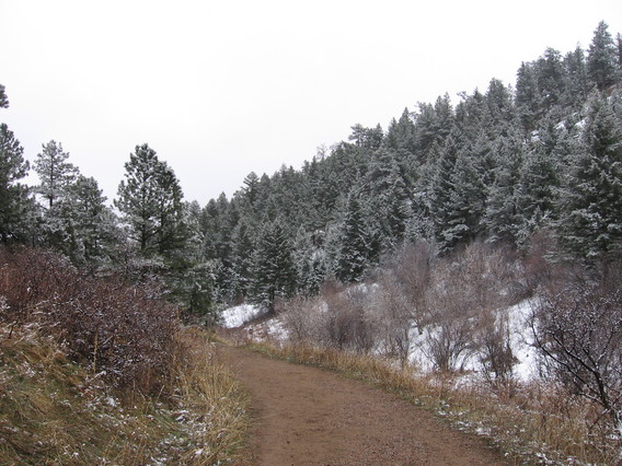 | There was in fact lots of snow still sitting on the north-facing slopes. |
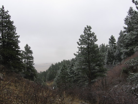
 | The snow remained heavy for the first few hours of the hike (all the way up). The snow is so evident in this photo because Liz accidentally left the main trail and wound up in a windy saddle. |
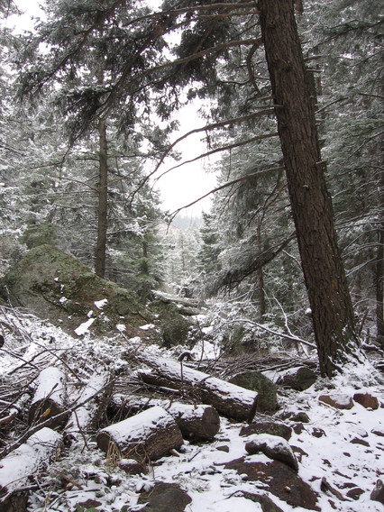 | This part of the trail reminded Liz of New Hampshire. It was rocky and a bit steep. |
 | A big rock! |
 | Shadow Canyon |
 | On the way back out, now. |
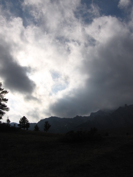
 | This is the western intersection of Mesa Trail and Big Bluestem Trail. The trail has descended into the plains, and it has stopped snowing by this time. |
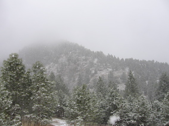
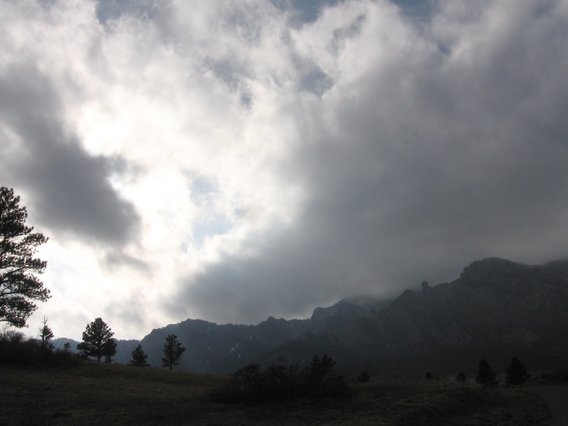
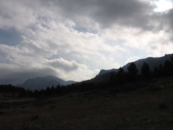 | Although it has stopped snowing over the trail in the meadows, the sky looks quite dramatic and threatening over the mountains. |
 | |
 | |
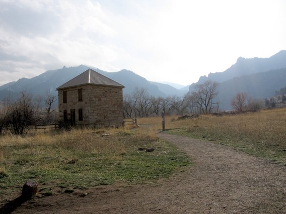 | There are many homestead sites in the canyons. Most seem to have been wooden shacks, not like this two-story stone building. |
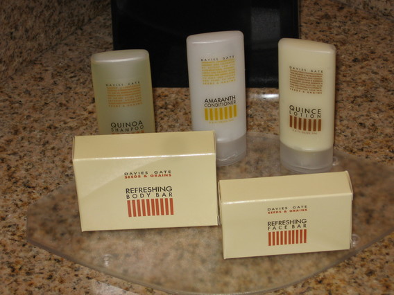 | Quinoa shampoo, amaranth conditioner, quince lotion; why am I feeling hungry? |
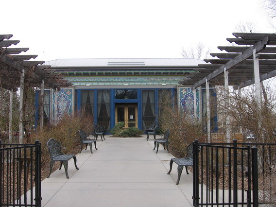 | This is the Boulder Dushanbe Teahouse. They have high quality tea (as well as many unusual teas) and wonderful food. We went for afternoon tea on a Friday. We got a multitiered tray of tidbits and what added up to five pots of tea. |
 | The strangest tea that we tried was the Lapsang Souchong, which had a smoky pine flavor. |
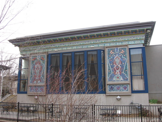
 | Detail of trim on the outside of the teahouse. |
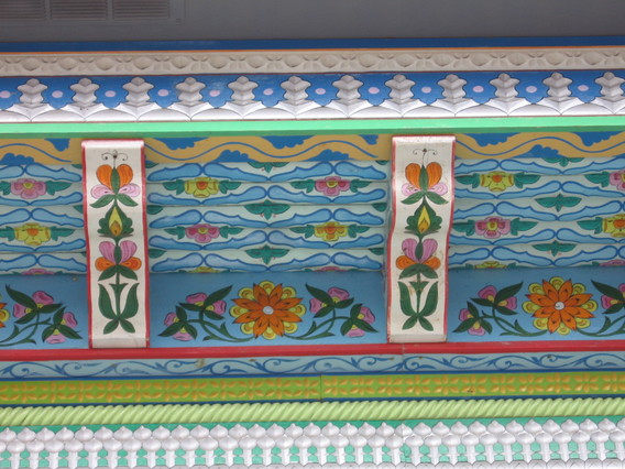
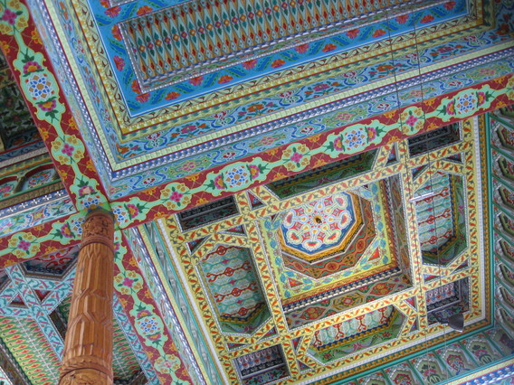 | This is the inside ceiling. the painting and carving was all done in Tajikistan by local craftsmen. It was then shipped to Boulder and the teahouse constructed. |
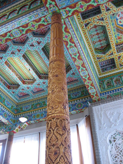 | Each of the dozen or so columns is carved differently. |
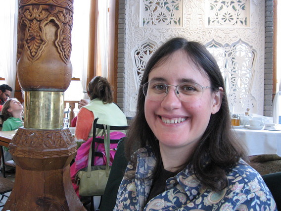 | |
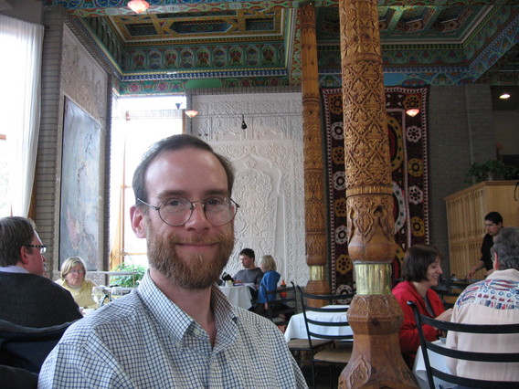 | We are happy because we are full of delicious tea and snacks. |
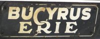
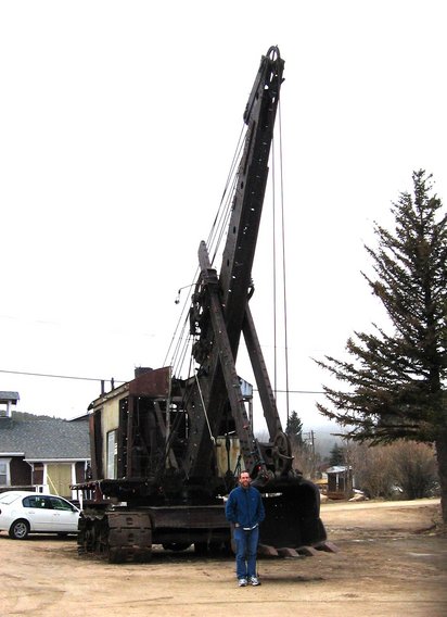 | This Bucyrus Panama is outside the mining museum in Nederland (straight up Boulder Canyon). Officially, it is Bucyrus 50B. |
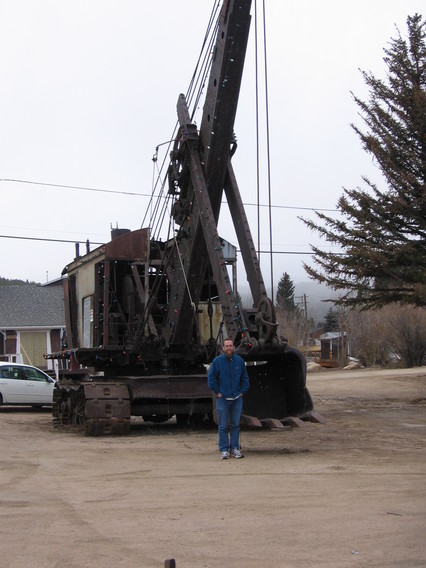 | I was astonished when I saw it, because I saw a program on TV once about how this very machine was extracted from the woods and delivered here. It was returned from Panama and used in mining during the second half of the 20th century and then left to rot in the woods 6 miles from here. The only way to get it out of the area where it sat to a decent roadway was to actually start it up and drive it out. This beast still runs. |
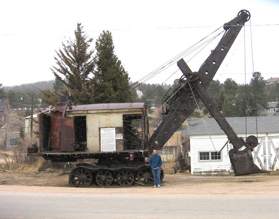 | I found a photo
on the web from before it was moved here. You can tell that it is cold, windy, and snowing. The sign on the side says the same thing as the web page linked to above. |
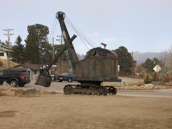 |  Here's his little brother. |